

 Image 1 of 5
 Image 2 of 5
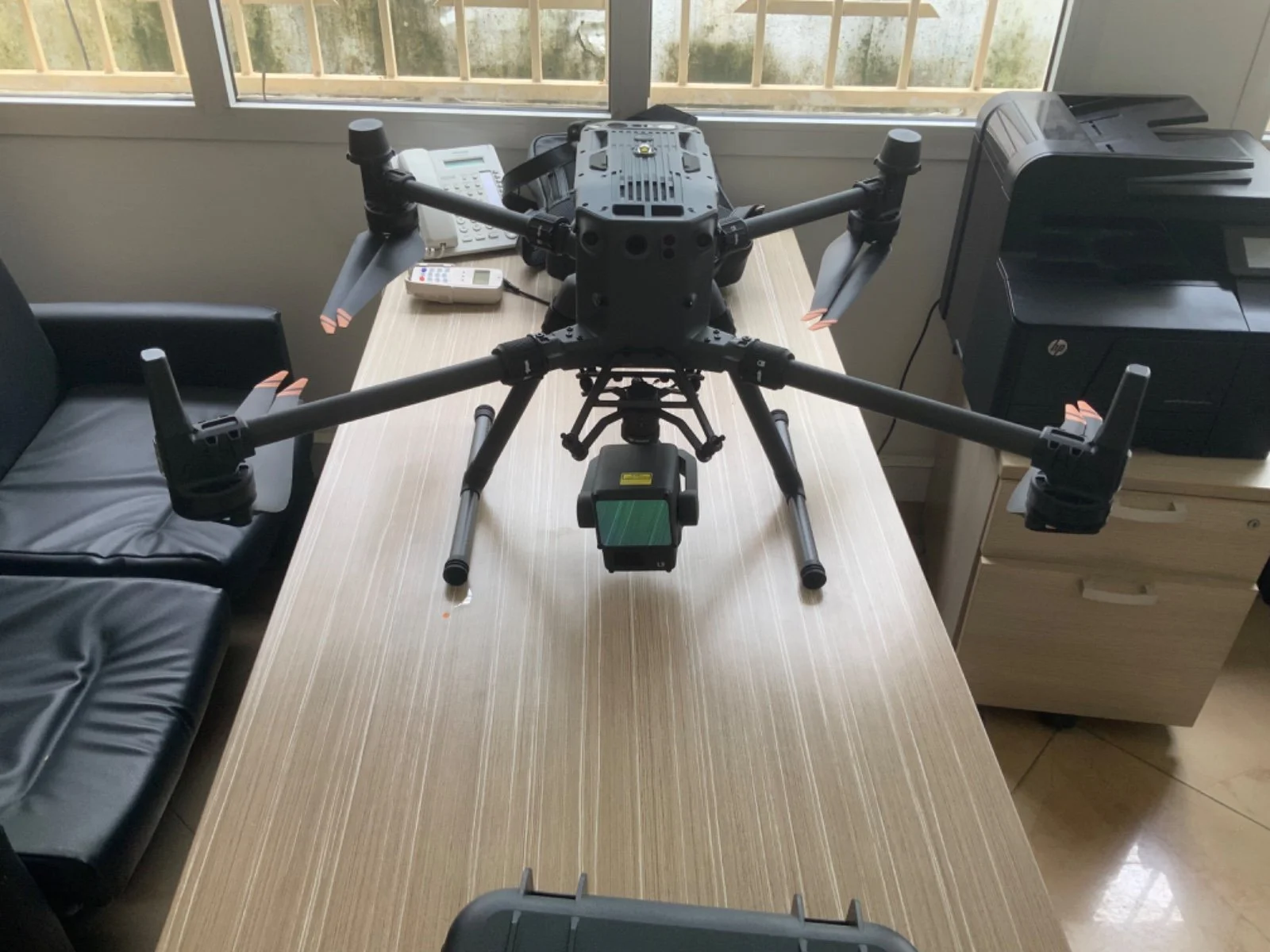 Image 3 of 5
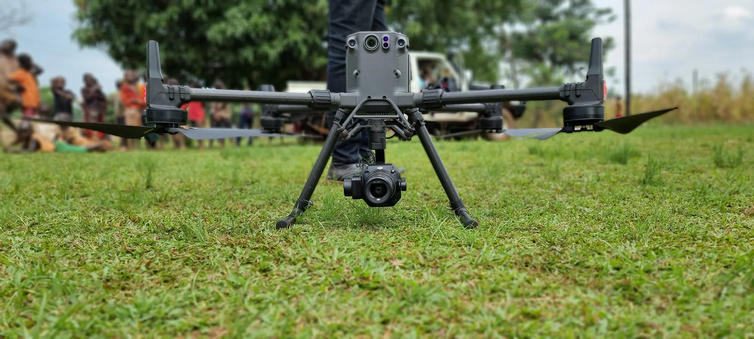 Image 4 of 5
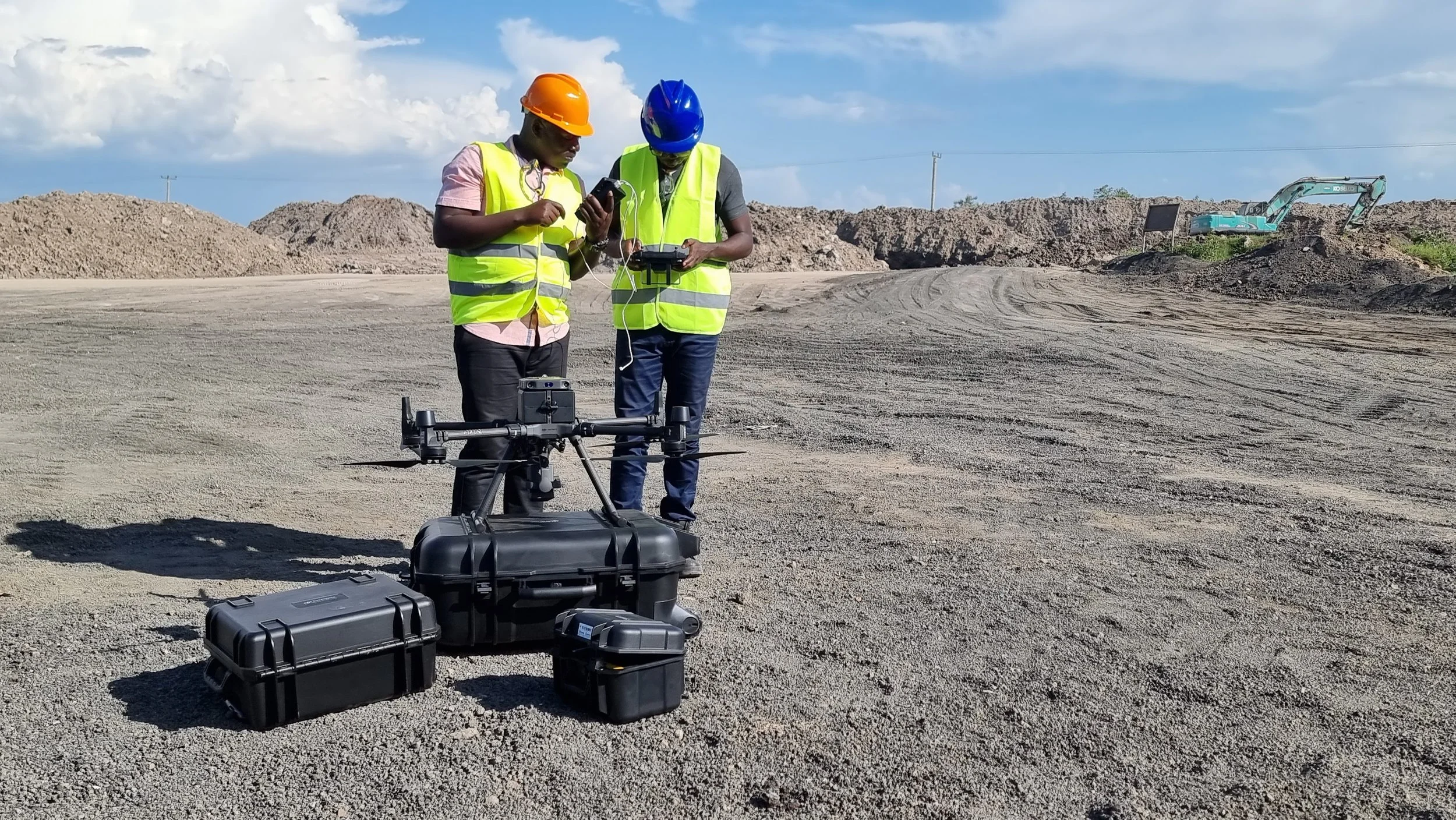 Image 5 of 5
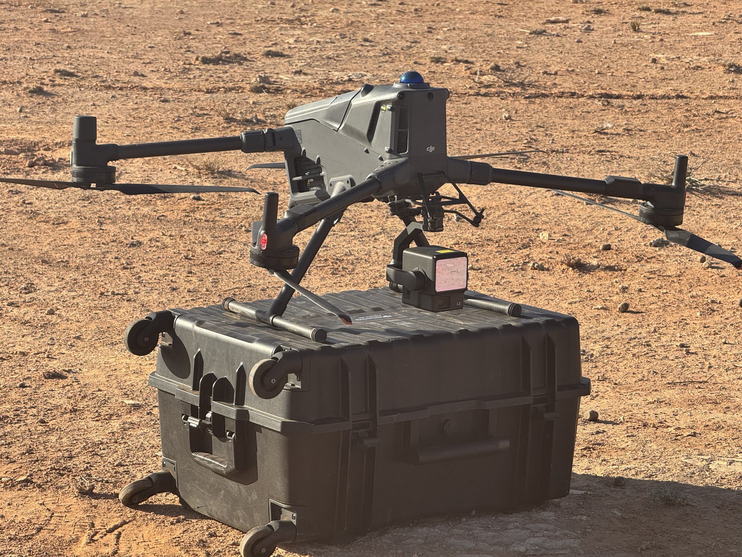
High-resolution aerial mapping and LiDAR data collection for detailed terrain analysis and 3D modeling.
High-resolution aerial mapping and LiDAR data collection for detailed terrain analysis and 3D modeling.