

 Image 1 of 2
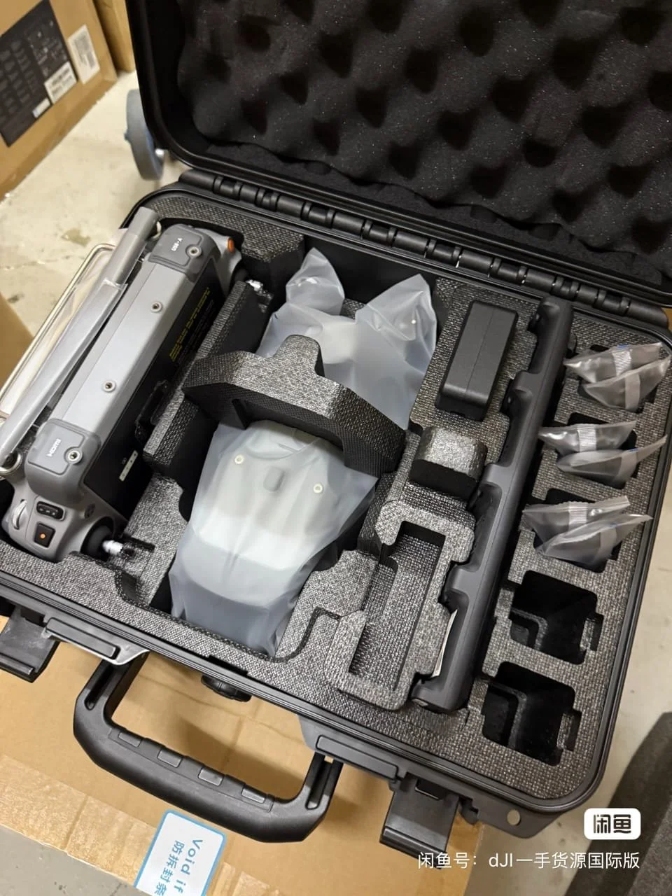 Image 2 of 2
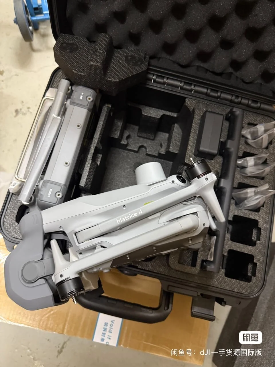
The DJI Matrice 4E is a compact enterprise drone designed specifically for geospatial applications, including surveying, mapping, construction monitoring, and infrastructure inspection.
It integrates multi-sensor imaging, intelligent flight automation, and precision measurement tools, making it a powerful solution for professionals seeking accurate and efficient aerial data acquisition.
The DJI Matrice 4E is a compact enterprise drone designed specifically for geospatial applications, including surveying, mapping, construction monitoring, and infrastructure inspection.
It integrates multi-sensor imaging, intelligent flight automation, and precision measurement tools, making it a powerful solution for professionals seeking accurate and efficient aerial data acquisition.